Why does my property need a Boundary Redefinition Survey?
Most land owners assume that the boundary of their property is defined by the fences that surround it or the buildings that are on it; this is not necessarily so.
When you purchase a property, the Certificate of Title is what defines the land size and position and that may not always match up to the fenced boundaries. It could be that when the last landowner fenced the land, they placed the fence where they thought it went and not on its precise location. There are even examples of people inadvertently placing buildings across a land’s legal boundaries because boundary pegs were in the incorrect place.
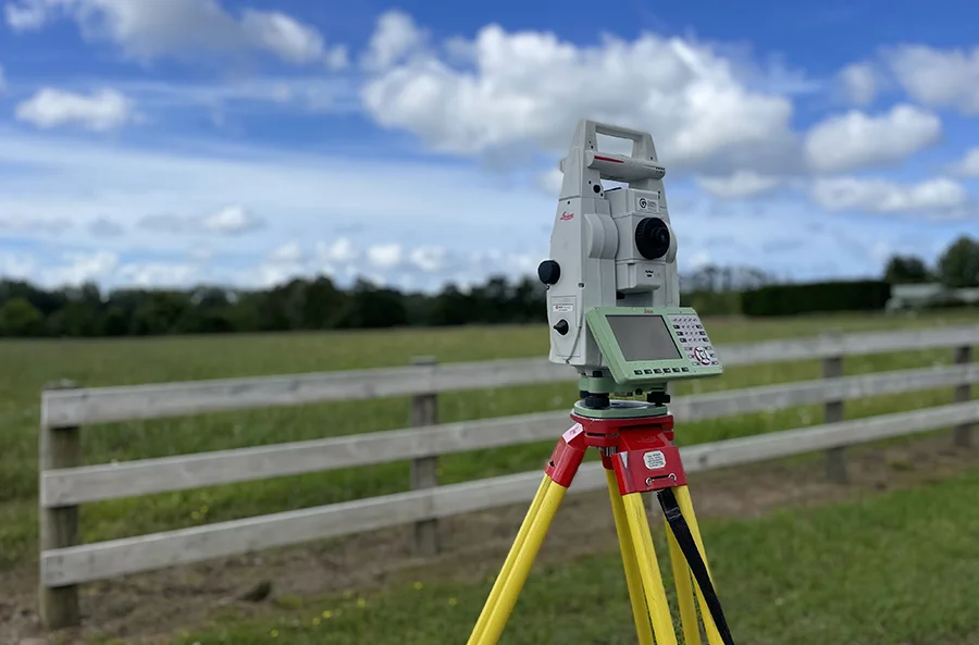
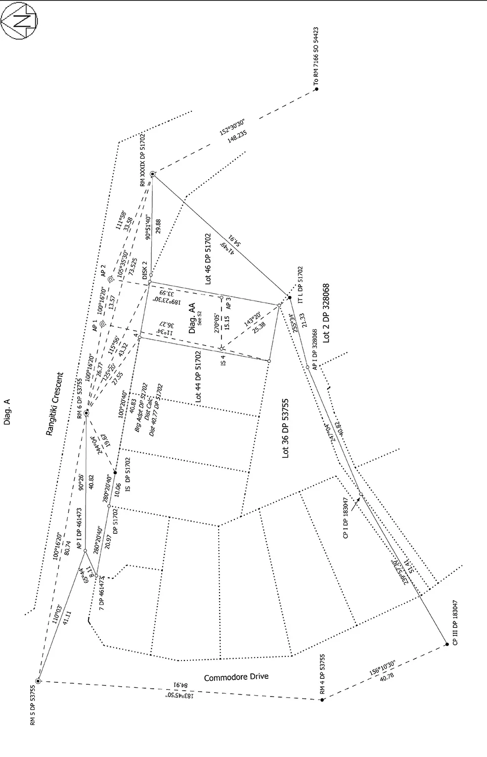
Whether it’s a fence located in the wrong place, or a building that has been built on top of a boundary line, it will take a Boundary Redefinition Survey to confirm any property’s boundary. A Boundary Redefinition Survey will locate the boundary pegs on your property. If the boundary pegs have been removed or lost, we will accurately replace them with new pegs.

Five reasons your property may need a Boundary Redefinition Survey
Reasons your property may need a Boundary Redefinition Survey include:
- You are looking to build on a property or extend an existing building. It may seem ridiculous that a building could be built on top of a property boundary or even on the wrong section, but we’ve seen it happen. Precise land surveying by a cadastral surveyor is the only way to be certain of the accuracy of your land’s boundaries.
- You are fencing a property. Fences are not always an accurate guide to the boundaries of a property. They are often built across the easiest contour rather than the correct boundary. It pays to check before you dig the postholes.
- You are buying or selling land and want to be clear where the boundaries are. When selling a property, one of the first questions a buyer will often ask is about boundaries and how much land they are actually purchasing. A Boundary Redefinition Survey will give them a precise answer and help with the land’s sale.
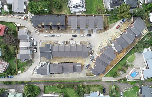
- You are developing or subdividing a piece of land. When developing a piece of land, the Council will require a number of surveys to be completed. A full Boundary Survey is one of them.
- You have a dispute with a neighbour over land ownership. Land ownership disputes are common. They only be totally resolved by engaging a land surveyor and having them produce a Boundary Redefinition Survey Report.
Redefinition Survey FAQ
What is the cost of converting a cross lease to fee simple title?
The cost to convert a cross-lease to a fee simple title can vary widely depending on several factors, including the complexity of the conversion, location, legal fees, surveying costs, and other associated expenses.
Fees for the Resource consent application, Land Transfer Survey, Council fees and LINZ fees for converting a cross lease to fee simple title would be approximately $15,000 + GST per flat/title. For example, one cross-lease property converted into two fee simple/freehold titles would be roughly $25,000-$30,000 + GST total. However, an accurate quote would be provided on a site-by-site basis. This excludes legal fees.
What does a survey cost?
The cost of a survey can vary depending on the type of survey, the size of your property and the age of the underlying and surrounding survey data related to your property. We can provide an estimate of survey costs at the start of a project.
Do I need a land surveyor?
If you are subdividing or pegging your boundaries you require a Licensed or Registered Professional Surveyor to undertake a land transfer survey to legally define your new or existing parcel of land.
Why do I need a Redefinition boundary survey?
If you require boundary pegs placed to locate your boundary locations for fencing or boundary disputes you will need a boundary redefinition survey. Only a licensed cadastral surveyor can legally place boundary pegs.
The Subdivision Process
The subdivision surveying for every land development we undertake follows the same five-step process to ensure complete transparency and satisfaction for every Thornley and Associates client.
Book A Free Desktop Assessment!
Get honest feedback about the feasibility of your project from highly experienced registered professional surveyors.


