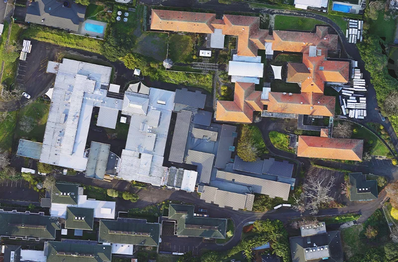
Topographic Survey In Remuera
Remuera, Auckland
Comprehensive topographic surveys are essential for a wide range of development and planning projects. At Thornley & Associates, we combine cutting-edge technology with traditional surveying methods to deliver highly accurate and detailed representations of the terrain. Our recent large-scale topographic survey in Remuera perfectly illustrates this integrated approach.
Capturing Every Detail – From Above And Below
This project involved a large topographic survey in Remuera, encompassing a variety of terrain and built environment features. Our comprehensive approach included:
- Drone Survey: We utilised drone technology to capture aerial photography and LiDAR data, providing a broad overview of the area and generating a highly accurate point cloud of the terrain.
- Traditional Surveying Techniques: We supplemented the drone survey with traditional total station and GPS surveying methods, capturing detailed ground-level measurements and ensuring precise location data for key features.
- Under and Inside Building Surveys: We conducted surveys within and underneath existing buildings to capture critical structural details and ensure comprehensive data coverage.
- Data Processing and Integration: We expertly processed and merged the LiDAR data with the traditional survey information, creating a seamless and highly accurate 3D model of the area.
- Drainage Survey: We surveyed the existing drainage infrastructure, mapping the location and condition of pipes, manholes, and other drainage elements.
This project demonstrates our ability to handle large and complex topographic surveys, integrating diverse data sources to provide our clients with a complete and accurate understanding of the landscape.
Need a detailed topographic survey? Contact Thornley & Associates today to discuss your project requirements and benefit from our expertise in this specialised field.

